In 2018, Amir Farhand created Soar.Earth as a community-fed wealth of mapping and geospatial data, after discovering a severe demand for satellite imagery while gathering images for an iron ore expedition in Western Australia. Lateral Capital Ventures, Peregrine Corporate, and family offices in San Francisco and Southeast Asia privately funded AU $4.5 million to jumpstart the project. The satellite imagery that was once available to only a few who could afford it has become affordable and accessible to everyone. Today, Soar.Earth is used by academic institutions, nonprofits, government entities, the private sector, and the general population.
It’s like Google Earth, if Google Earth had updated imagery.
The world is constantly changing, specifically its surface. Just in the time you’ve been reading this article, it has already changed a little more. Construction and development, seasonal and climate changes, and natural influences like erosion and earthquakes make outdated images useless for many applications. While some older images are helpful in comparisons, art, and other uses, the most impactful uses require data based on current images. Soar.Earth has become the solution for users who need that up-to-date imagery. It’s just like Google Earth if Google Earth updated in almost real-time, as opposed to hardly updating at all.

Where do the images come from?
Soar.Earth offers user-generated content with mapping data from all over the world. There is satellite imagery, drone photography, environmental data, orthomosaics, DSMs, and artwork. It’s the YouTube of maps, and just like YouTube, Soar.Earth boasts some renowned users, like Guinness World Record holder Nathan Lu, the youngest person ever to use a drone for cartography. Many Soar.Earth users are well-known in cartography, art, and various industries, some with large social media followings and others with international fame.
Integrations with Satellite Imagery
A user on Soar.Earth can access more than 23 billion square kilometers of regularly updated satellite imagery and geospatial data from the European Space Agency’s Sentinel-2, NASA’s Landsat-8, and SkyMap50 networks. The 10-meter and 30-meter resolution per pixel Sentinel and Landsat images are free to all users all over the globe, no matter what location you need. Ultra-high-resolution images can also be captured and delivered on-demand. At 50-centimeters per pixel, SkyMap50’s images are 20 times sharper than Sentinel’s. All you have to do is select the location you want by drawing a box around it and enter your payment details. It’s as easy as ordering from Amazon, but your images usually show up faster.
Online Interactive Atlas
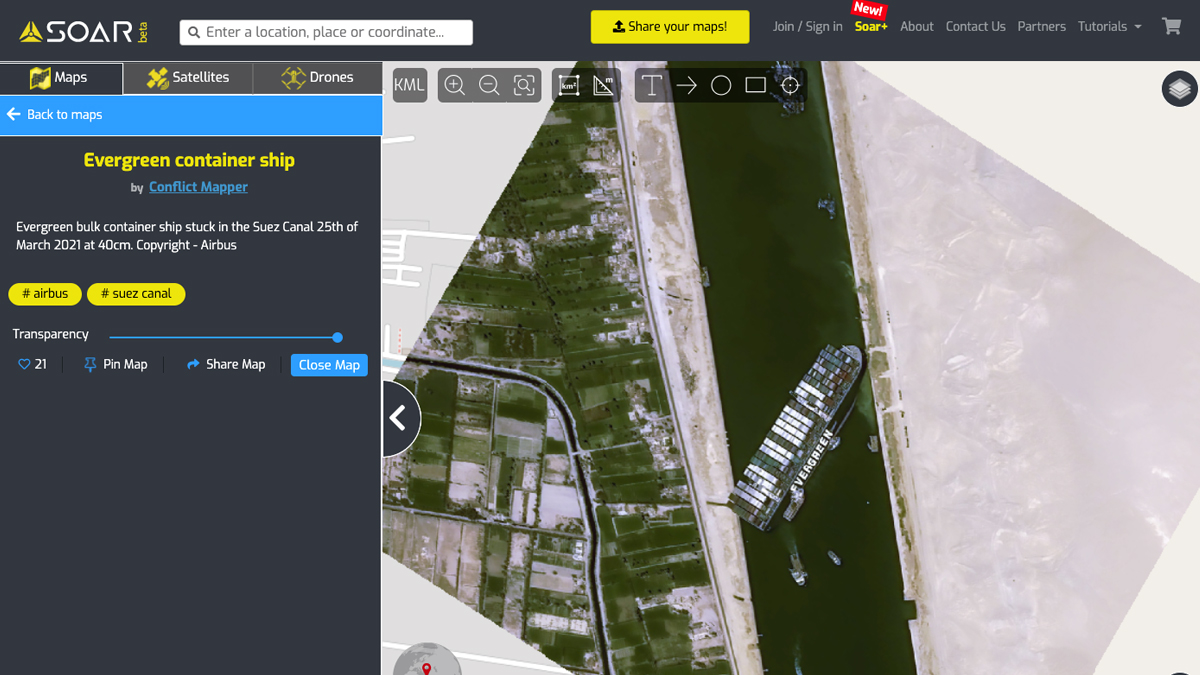
Simply put, Soar.Earth is an innovative digital atlas that indexes satellite, aerial sensor, and crowd-sourced drone imagery. Users from all over the world in all different industries can use Soar.Earth to detect changes in the Earth’s surface, plan geological expeditions, track natural disasters, and help support relief efforts. Users and applications range from general curiosity to academic studies, meteorology, mining, and environmental, and the list goes on. Where professionals were struggling only a few years ago, they now can access current, clear, free images or request a high-definition update in just minutes.
(The above story first appeared on Morning Tidings on Mar 31, 2021 02:04 PM IST. For more news and updates on politics, world, sports, entertainment and lifestyle, log on to our website morningtidings.com).
Leave a Reply